What is a Political Map
Know it All about Political Map
Political map, physical map, topographical map, and even a simple road map are all examples of maps. A political map is likely to be the first map that most children experience, aside from the treasure maps of pirate tales, but most will never hear the term associated with the item in front of them. Many people, in reality, go their whole lives without knowing the differences between the types of maps.
Therefore, in this article, you’ll know what a political map is, its features, advantages/disadvantages, history, etc. Other than that, you’ll also have an insight into when and how to use them.
Among the most commonly used reference maps are "political maps." They hang on the walls of classrooms all over the world showing the geographical boundaries that separate administrative units such as nations, states, and counties. They depict major water features such as oceans, rivers, and lakes, as well as highways and towns. In a nutshell, a political map displays the political characteristics of a given area.
Political maps come in a variety of sizes, as you would expect. Some are large enough to span whole continents, while others are smaller, such as a state or a county. You've probably seen a lot of political maps in your life. Knowing how to read these maps is essential to their use.
EdrawMax Map Software helps to create interactive map drawings for free with easy-to-edit templates. Make it easier to find the right location and region on your map.
People used to draw maps to indicate where land borders were. Maps were also common among rulers, such as kings and queens, who wanted to know where their lands were. These maps may be used to show the king where taxes should be raised, where loyal subjects should live, and new areas of land that the king or queen would want to invade or settle loyal subjects on.
During the Famine, political maps were used. Relief works were established to allow people to work for money on public works projects such as road construction. While this provided some assistance to the citizens, the funds raised were insufficient to keep many families from going hungry. Accurate maps were needed at the time to determine which landlords were responsible for relief efforts in various parts of the country.
Political maps are generally used to depict the governmental borders of countries, states, counties, cities, and towns, as well as geographical features like rivers, streams, and lakes. An easy-to-use informative index is a function of a political map.
Other than that, political maps assist people in comprehending the world's geography. Students are normally exposed to them as the first form of a map in school. People refer to them as "reference charts" since they are often consulted when they have questions.
A political map is a map that depicts the political borders of nations, states, counties, and major cities. A political map can help determine regional socio-political patterns that influence group activity and government outcomes.
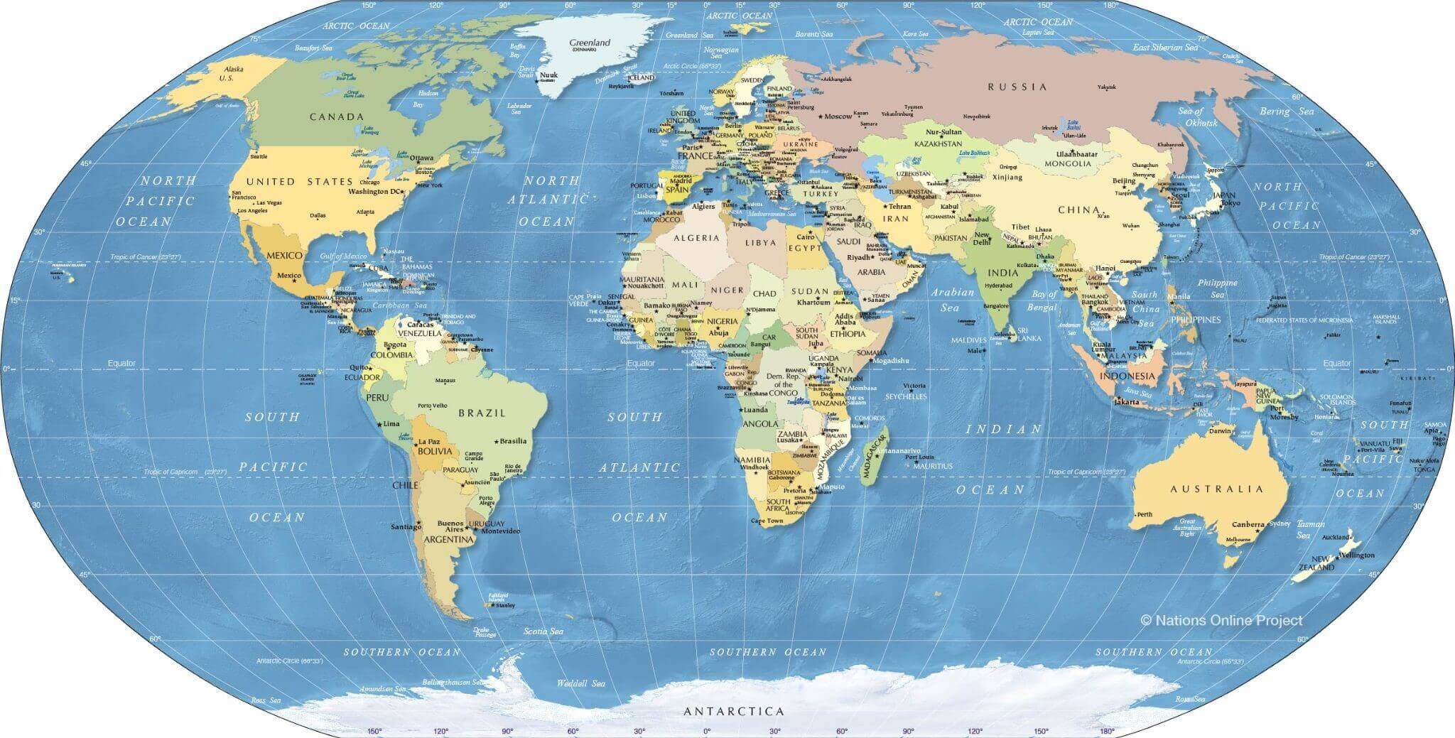
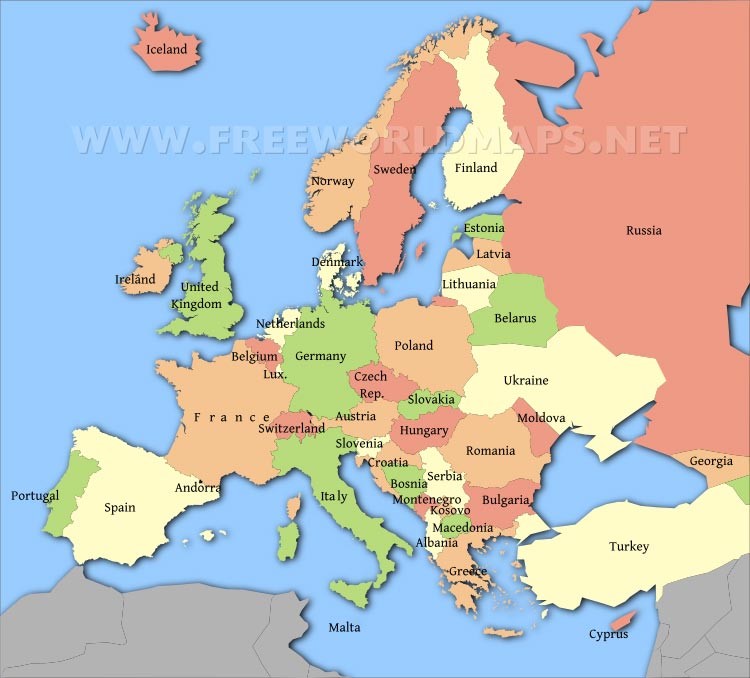
Political maps are frequently printed on paper or other physical media, but they can also be created digitally and viewed online. Millions of people use search engines every day to look for political reference charts. "United States map," "World map," "Europe map," and "Florida map" are among the most common searches.
Thousands of various political reference maps have been created to depict the United States' current geography. There are maps of the whole country, maps of each of the 50 states, and maps of the 3142 counties that make up the states (parishes in Louisiana and boroughs in Alaska). The majority of counties, boroughs, and parishes are divided into even smaller political divisions. Just to show the geography of the United States, an unprecedented number of political maps have been developed.
Political maps of the world, nations, and continents are the most popular maps used in classrooms and offices. They are sometimes annotated with push pins, sticky notes, photos, marker flags, and string to indicate a family's journeys, a business's locations, or other noteworthy locations and events.
Wonder how to create different kinds of map in a minute? Try EdrawMax Map Creator to use pre-made templates and edit by yourself!
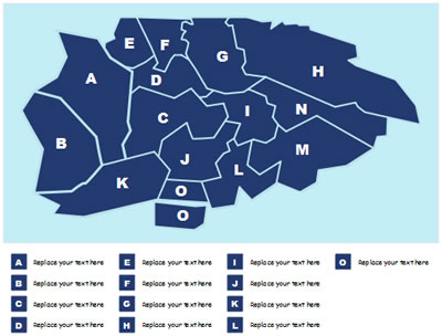
One must know how to read a political map to use it. The first thing you can learn about reading a political map is how to place yourself concerning the information on the page. Some aspects of maps will remain consistent regardless of whether you are looking at a map in your hand, in a book, or on a screen. Direction is one of them. North will always be at the top of the map, south will always be at the bottom, east will always be on your right, and west will always be on your left. Every political map is the same.
Now that you are oriented, you can start reading the map by following the steps that are below.
Below is an example of a political map of the United States of America. The United States of America is a republic with a federal government. There are 50 states, one federal district (the capital, Washington, D.C.), five larger territories, and some island territories that make up the United States. North America is made up of the 48 contiguous Continental United States (also known as the Lower 48) and Alaska, while the Pacific and Caribbean are made up of Hawaii and smaller outlying areas.

The political map depicts the United States and its neighboring nations, the national capital, Washington, D.C., as well as US states, state borders, state capitals, and other major cities.
A political map differs from other types of maps since it focuses on government or administrative borders rather than geographical or physical features. Rather than showing viewers what is actually on the ground, it depicts the abstract lines that divide nations, states, territories, and towns.
The above article covers everything you need to know about political maps, including their history, uses, advantages, as well as how to read them.