Directional Map Software - Draw Directional Map easily with EdrawMax
Draw Directional Map (2D Directional Map and 3D Directional Map) Easily and Rapidly
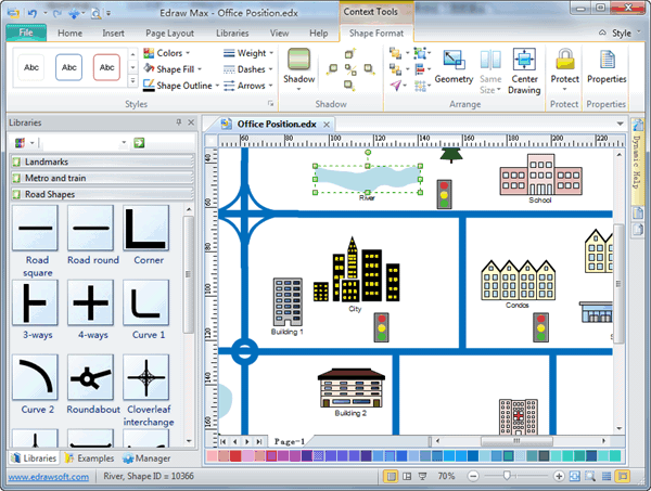
Here is a vector-based diagramming software with rich examples and templates. Easily create directional maps or maps with it. EdrawMax contains transportation and maps transit shapes, such as highways, parkways, intersections, road and street signs, routes, railroad tracks, transit terminals, rivers, and building. With pre-drawn libraries and more than 4600 vector symbols, drawing couldn't be easier!
System Requirements
Top Reasons to Choose Edraw to Create
- You get an extensive collection of directional map templates and examples.
- You can have over 8000 vector symbols besides directional map symbols.
- You can also gain a full array of text styles, backgrounds, line styles, borders, and clip art to help you create any diagram you can imagine.
- No drawing skill or experience is required. Edraw automatically aligns and arranges everything to look perfect!
- Edraw has FREE technology support.
Symbols for Directional Map
The Directional Map template includes a wealth of stencils to make it easy to create a directional map with all of the extras.You can build the actual map using the shapes on the Road Shapes template that includes roads of various types.
3D Directional Map
2D Directional Map
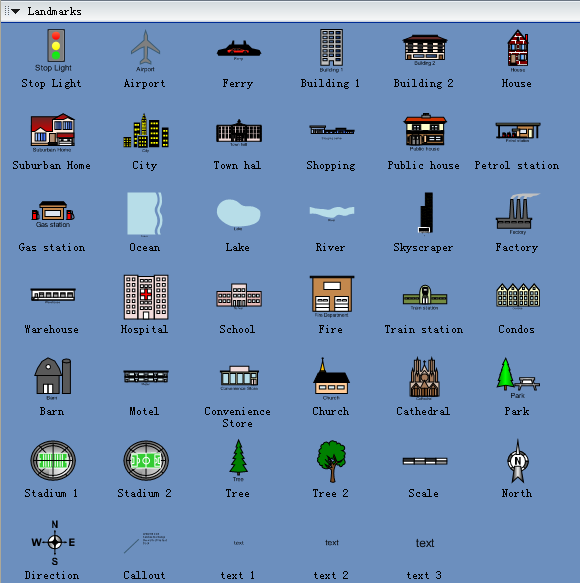
2D Directional Map - Landmarks
For example, the Landmark Shapes stencil includes easily recognizable shapes such as a barn, gas station and airport.
2D Directional Map - Metro and Train
The Metro Shapes template contains shapes that help you build the metro line path to the destination.

2D Directional Map - Road Shapes

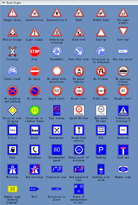
2D Directional Map - Road Signs
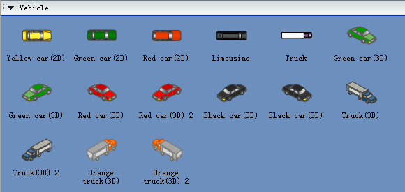
2D Directional Map - Vehicle
The Transportation Shapes template includes shapes that look like familiar road signs, such as school zone and stop signs.
2D Directional Map Example - City Location Map
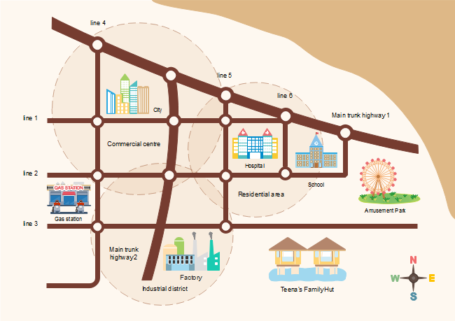
Use our 2D directional map software to create location maps to show vividly where you place locates. As the example shows below, it shows clearly the roads and architectures around so that others would easily understand and find it.
Create a 3-D Directional Map
- On the File menu, point to Template Gallery, point to Map, and then click Directional Map 3D.
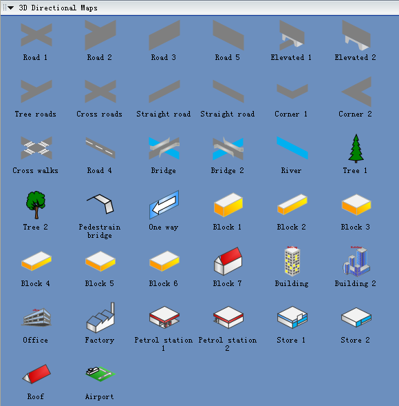
- From Directional Map Shapes 3D, drag road shapes onto the drawing page.
- Align the shapes to create the road configuration you want.
- To nudge a shape into position, select the shape and then press the arrow key that represents the direction you want.
- To create a longer road or a road grid that can be moved as a single unit, group multiple road shapes together.
- Drag other shapes, such as bridges, buildings, and cars onto your map.
- To rotate a selected shape, drag the Rotation handle.
- To add text to shapes, select a shape, and then type.
