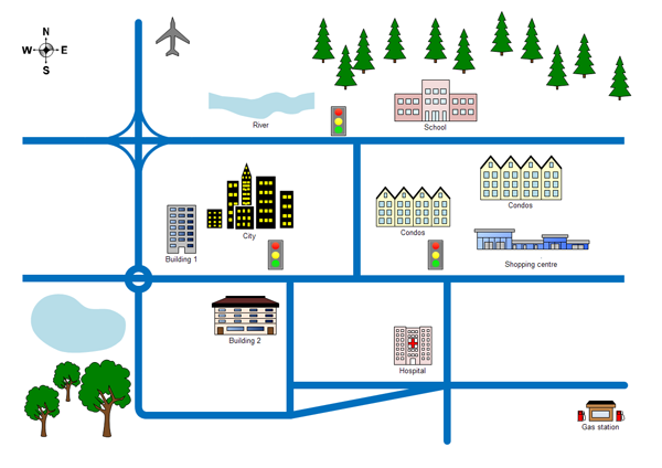
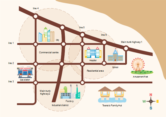
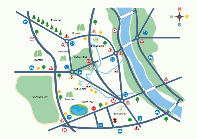
2D Directional Map Example
These templates includes all of the helpful templates such as roadsigns,landmark,buildingsandroad.Ingeneral,you'll find that these particular templates are better suited to both local needs and needs in an entire city.

Creating a 2-D Directional Map
- On the File menu, point to Template Gallery, point to Map, and then click Directional Map 2D.
- From Directional Map Shapes 2D, drag road shapes onto the drawing page.
- Align the shapes to create the road configuration you want.
- To nudge a shape into position, select the shape and then press the arrow key that represents the direction you want.
- To create a longer road or a road grid that can be moved as a single unit, group multiple road shapes together.
- Drag other shapes, such as bridges, buildings, and cars onto your map.
- To rotate a selected shape, drag the Rotation handle.
- To add text to shapes, select a shape and then type.
The road elements can be connected one by one.
![]()
Only drag one road to the end of another road.
More 2D City Location Map Examples
Here are presentation-quality 2D location map and 2D direction map examples. Create similar location map with Edraw that you can post on your website or print as large posters.


