Trusted By Over 30 Million Users & Leading Brands

cmpa
mckesson
deloitte
amazon
facebook
apple
puma
nike
sony
pilz
ge
kpmg
fujifilm
mitsubishi_electric
ublox
daimler
toyota
walmart
harvard_university
glencore
at&t
amerisource_bergen
aramco
shell
total

Why EdrawMax to Make Your Maps?

Maps make the journey easy
Visualize data: Visualize your demographic data with color-coded maps to quickly understand the sales and business trends and statistics. Make better decisions by getting insights into your data.

Optimize routes: Optimize your routes for more efficient deliveries and more managed supply chains using the map software.

Discover opportunities: Discover opportunities in your neighborhood by looking at the gaps in the services and products areas using the map drawing software. Also, visually observe the infrastructure to identify the best location for your business.

for every need

Creating map drawings is
a breeze

Quick-start templates: Beautiful maps templates in EdrawMax map software help you kick start your creativity with a solid base. Customize these templates with your data and your presentation style to personalize them for your use.

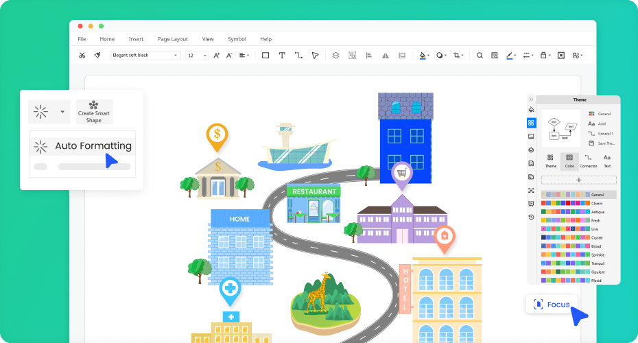
Advanced features and preset tools: Become your designer using EdrawMax map software and impress your audience, team, and students with presentation-quality maps. Use the simple drag and drop interface and intelligent adjustment and alignment tools in the EdrawMax map-making software.

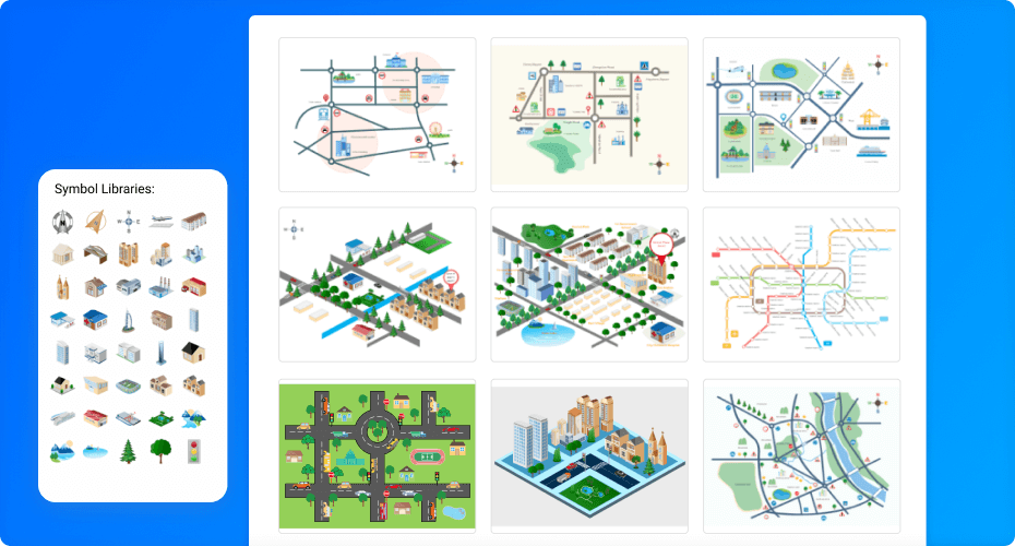
Well-stocked symbol library: Millions of symbols, icons, and clipart in the map maker allow you to create an excellent design within minutes.

create with EdrawMax

Collaborate and share with team on the fly

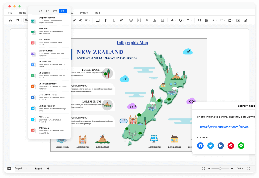
Export maps with a click: Export your files in multiple formats to quickly embed them into your documents, presentations, and emails. Use the export menu to convert your maps in PDF, SVG, JPG, PNG, HTML and other portable formats.

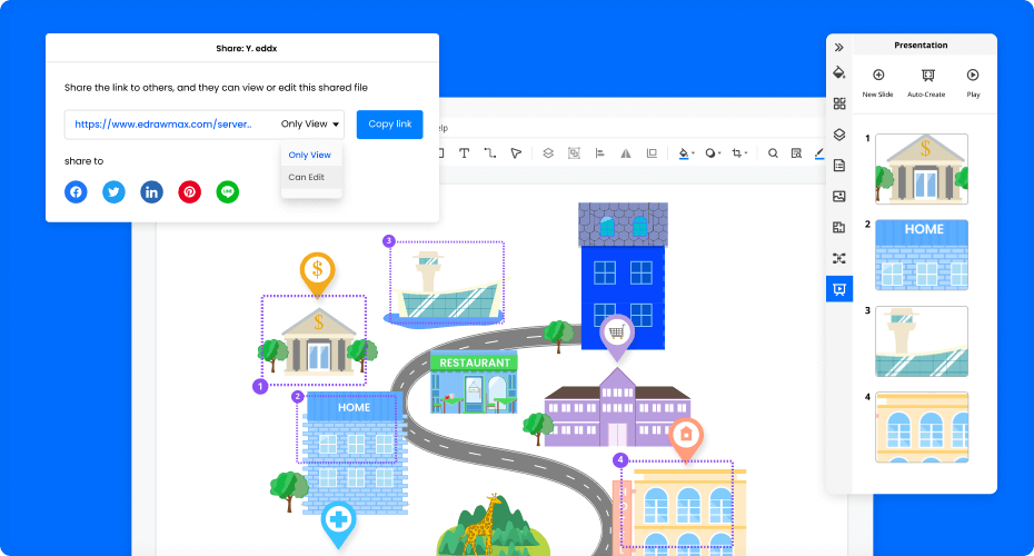
Share on the cloud: Work in close collaboration with your team using the cloud storage feature of EdrawMax map software. Grant specific permissions to specific members to restrict their access rights and keep your files secure.

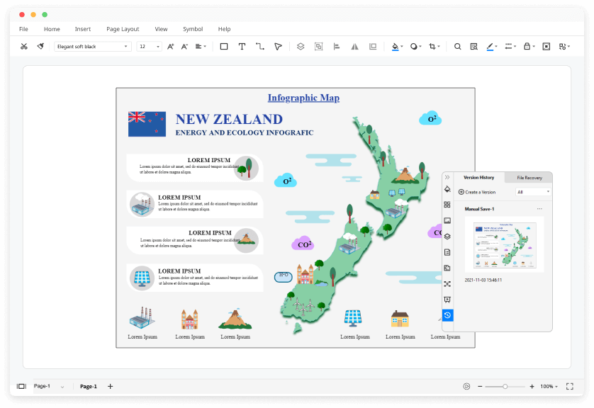
Version history: Keep your files integrated and safe with a built-in version control system.

collaboration

Let your maps do the talking

Full screen: Present your sales and business report based on demographic maps to your audience. Simply click the F5 key, and the show starts in full-screen mode. No switching and adjustment of apps are needed.

Slideshow maker: You can also select the required part of the map by dragging the cursor and creating slides for your impressive presentation.

presentation

More Features Of Map Software

Visio files import and export
Customized fonts and shapes
Insert images and attachments
Infinitive canvas
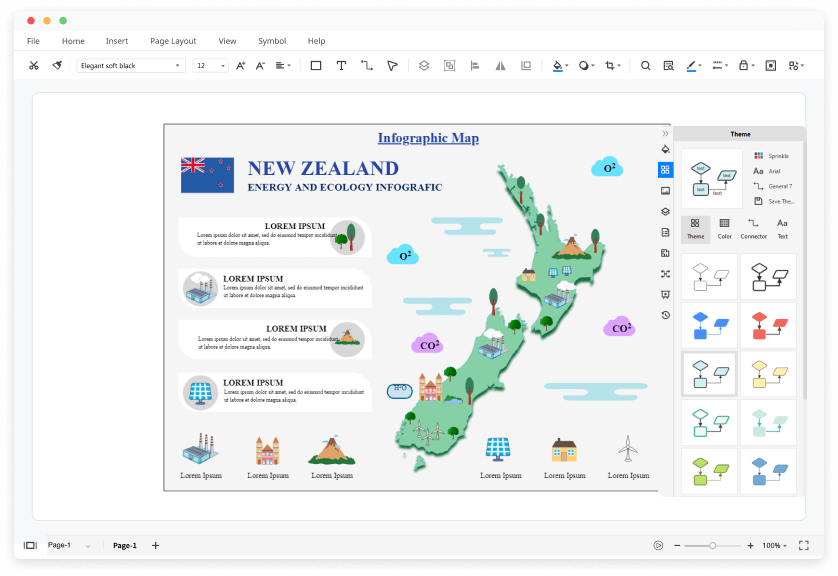
Various color theme
File encryption and file backup

It is the best thing that has happened to me in my new stressful job. I am slowly becoming a team star with my excellent data visualization and presentations.

My EdrawMax review is fairly positive because it is easy to use, has a wide range of options, and even beginners can use it conveniently.

I can create a visual representation of my sales team data within minutes before every meeting to see how my team members are performing, and it helps me brief my team more effectively.

Edraw Map Templates

Isometric Map
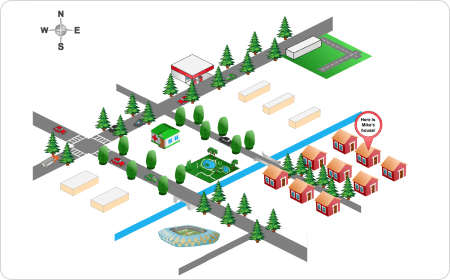
Isometric Map
Isometric maps present three-dimensional objects like buildings, houses, trees, etc two-dimensionally. It is a map that maintains lengths on the map.
Directional Map
Directional Map
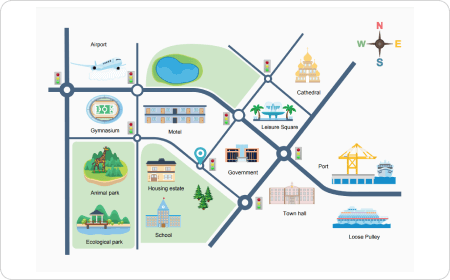
Directional maps are great tools for showing directions, neighborhood properties, and services and locating shorter and quicker routes.
Location Map
Location Map
Location map allows quick identification of landmarks, routes, paths, and directions. Use it to identify business opportunities and to survey the area.
Street Map
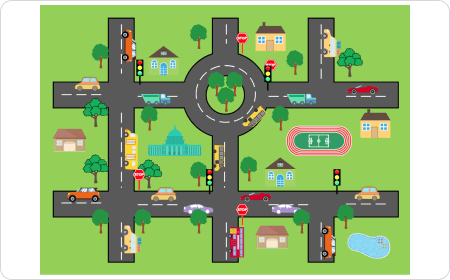
Street Map
Street maps are great tools for showing directions to a location, exploring an area for tourists, identifying shorter routes, and so on.
Vicinity Map
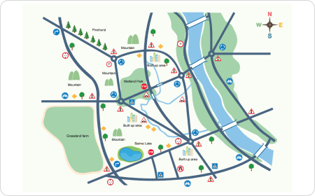
Vicinity Map
Vicinity map shows important buildings, services, road networks, and water bodies. Symbols or icons are used to indicate specific features.
Subway Map
Subway Map
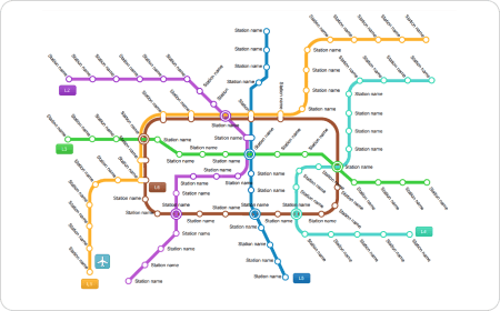
Subway maps are excellent help to see the network and choose the suitable options for new visitors of the city.

Map Software FAQs

Except for the pre-made map templates in EdrawMax, you can download and customize map templates from our Template Community. All the community-made map templates are free to use for Edrawers.
When your map is complete, you can post it on social media, publish on Edraw Template Community, or export the file as Word, Excel, PowerPoint, Visio, PDF, SVG, PNG and JPG. EdrawMax is dedicated to delivering a superior user experience.
No worries. You can find all symbols by searching "map" in the preset symbol libraries. You will see all the pre-made design elements and shapes for maps in EdrawMax.
You can create a map from scratch by dragging symbols from the libraries and dropping in any position you want. All the symbols in EdrawMax are vector, editable, and catered to different types of maps.
YES! It is free to create different maps in EdrawMax. There are free templates, symbols, and editing tools for making maps. Just download it and try EdrawMax now. You will love it right now.

More Resources

Unlock your diagram possibilities by exploring more diagram makers here.
Find more ideas, tips and knowledge to help create maps.
Need help? Find the instruction or contact support here.